Cayman’s Land Registry System
Efficient, easy to use & transparent.
Economists credit Cayman’s Land Registry, created in the 1970s, with much of the island’s economic development.
The system replaced the traditional British registration of deeds with the registration of title, resolving lingering questions about land ownership and lending confidence to land tenure.
A carefully devised zoning regime seeks to manage development – and its pace — under the control of the Central Planning Authority and the managers and technicians of the Lands and Survey Department.
The department declares a mission to create “a land registration system that is efficient, easy to use, easy to understand and is transparent.”
Its formidable mapping technology tracks each of the 30,000 registered parcels across Cayman’s three islands, addressing ownership, leases, rights of way, mortgages, and charges –and ensuring public access to the records.
The registry also lists property owners and their powers of attorney; strata plans and by-laws for every multi-resident property; location data — in support of property rights; and provides oversight of land-registration documents; and management of a volumetric geospatial database aiding innovation and development.
Its four-member governing board — members of Britain’s Royal Institution of Charted Surveyors – licensed Cayman surveyors and administers all government surveys.
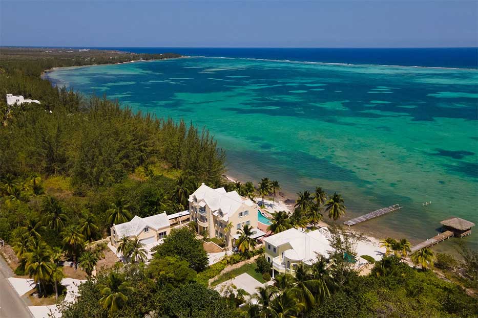
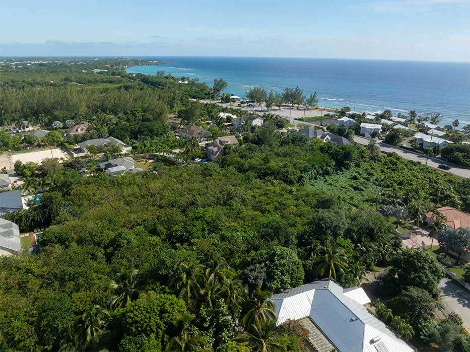
Starfish, beach front land overlooking the serene waters of Frank Sound, Grand Cayman.
The Survey Section does more than cadastral surveys — establishment of property boundaries and attached rights. Surveyors also look at control densification, topographical engineering, roads, and volumetric and hydrographic issues.
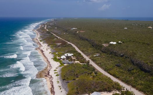
The global positioning system streamlines such applications as beach monitoring, determining erosion, accretion, and measurement of storm surges. Tide gauges track rising sea levels and the mean high-water mark, essential to designate the boundaries of seaside parcels.
Cayman real estate is held under three categories: freehold, held indefinitely by the registered proprietor; leasehold, held by the proprietor for the term of the lease; and strata title, held indefinitely by the registered proprietors, distinguishing freehold and leasehold interests to create “strata lots,” each registered separately.
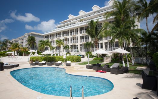
Strata titles are often used for office buildings and shopping centres but primarily for condominium developments.
Planning Permission in Cayman
Cayman’s Development and Planning Law
Cayman’s Development and Planning Law establishes a 13-member Central Planning Authority for Grand Cayman (and a separate board for Cayman Brac and Little Cayman). These bodies review planning permission applications — required for land development or change of zoning – and authorise enforcement.
Zoning laws designate 11 types of development:
Agricultural/Residential
This permits agricultural and single-family residences, land in its natural state. Other uses may be allowed if they align with the primary designation.
Residential
Divided into low, medium, and high-density zones, they generally disallow uses that are dangerous, obnoxious, toxic, may cause offensive odors or noise, or otherwise create a nuisance or annoyance to others.
Beach Resort/Residential
A transition between “low-density residential” and “hotels/tourism” permitted development comprises detached and semi-detached houses, beach resorts, guest houses, apartments, cottage colonies, and other tourist-related amenities.
Hotel/Tourism
This comprises hotels, cottage colonies, apartments, and both detached and semi-detached houses.
Commercial
The three types of commercial development comprise banks, offices, businesses, restaurants, shops, supermarkets, and gas stations.
a) General commercial applies to central George Town.
b) Neighborhood commercial applies outside of George Town and includes shops and businesses serving their communities.
c) Marine commercial comprises general commercial activities associated with ships and shipping, charter and dive boats, and water sports. Cargo handling and boat repair are also allowable.
Industrial
The two types of industrial zones are “light” and “heavy,”
“Light” includes:
Industry linked to agriculture and may overlap with residential and commercial zones. Fishing, boating, and sailing
Storage and warehousing; bulk wholesale; agricultural processing; and research labs;
Industry linked to agriculture and may overlap with residential and commercial zones.
“Heavy” means:
Appropriate standards of layout, design, construction, and landscaping.
Structures, storage, waste disposal, parking, and loading must be screened from public roads and adjoining non-industrial properties.
Institutional Development
This zone comprises civic and educational buildings, cemeteries, social and recreational facilities. Religious, social, and public buildings are permitted anywhere they meet community needs.
Mangrove buffer
Red and predominantly red mangroves will be protected from development except in exceptional circumstances.
Public Open Space
Public Open Space includes playing fields; public beaches; public parks; public rights of way; land which government may acquire; or any other land, publicly or privately owned land the public has existing rights to.
Historic Overlay
The zone encourages the preservation of historic buildings and structures.
Scenic Coastline
Specific lengths of coastline are designated as natural assets and are to be safeguarded for present and future generations.
The regulations provide broad flexibility to decision-makers under a series of exemptions:
“The designated land use of each zone is not in any way inflexible,” according to the Planning Authority website. “Zoning is intended to indicate the primary land use of each zone, and thus other development may be permitted, providing that it can be demonstrated that it will not adversely affect the primary use of the zone:
Several features of the Cayman Islands influence planning decisions:
- Population trends
- Land availability
- The ecology and environmentally fragile areas of the Island;
- Freshwater supplies
- The need for sewerage and for sewage disposal facilities;
- Other material considerations

